


TEH-11062-18
A: Grade is measured with a simple geometric formula of rise over run. If the track climbs one foot in 100 feet, that’s a one percent grade. Two feet of rise in 100 feet is a two percent grade, and so on.
Railroad track charts show the track arrangement, curvature in degrees and minutes, and grade down to a hundredth of a percent. The interval over which grade changes are shown vary by the railroad and territory. On Norfolk Southern, these range from 0.1 mile on former Southern lines to 1 mile on former Conrail lines, a Norfolk Southern railroader tells Trains. The smaller the interval, the more precisely the track chart follows the actual track. Resolutions smaller than a few tenths of a mile are typically unnecessary given the size of typical trains.
In recent years, most railroads have added GPS-generated geographic information systems data, where the elevation intervals are on the order of feet. — Tyler Trahan


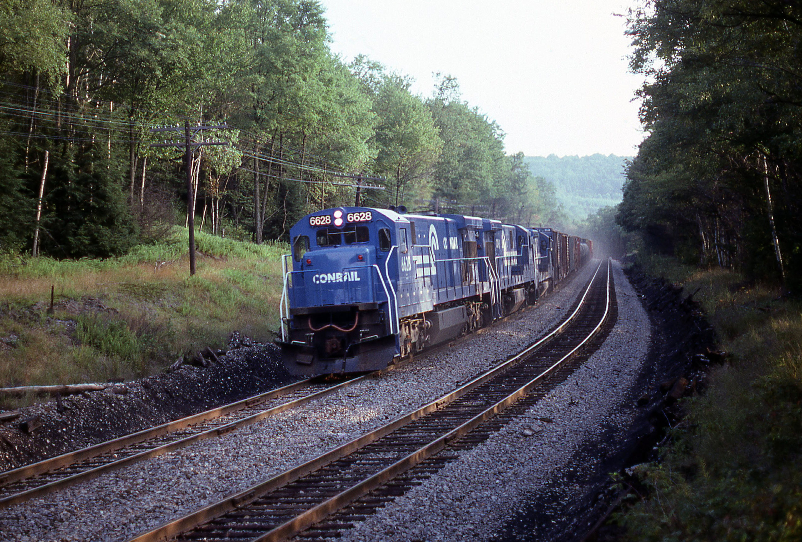
Accompanying photo looks like BUOI climbing to Gulf Summit. Nice to see the Southern Tier(ex EL) get some notice!!