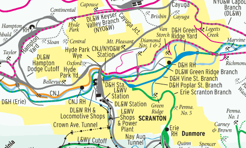
This Map of the Month appeared in the April 2008 issue of Trains magazine.
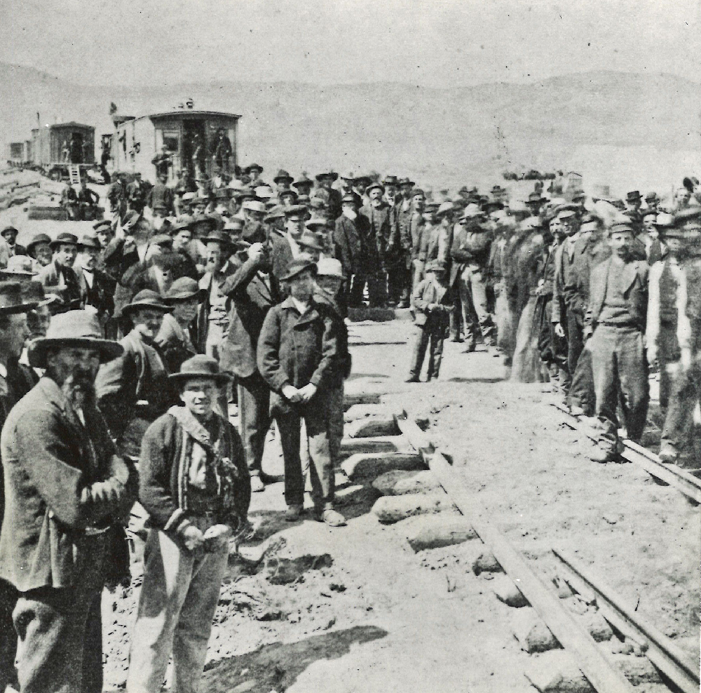
Delaware & Hudson Canal Co.’s 1826 Gravity Railroad over Moosic Mountain first hauled anthracite coal from Northeast Pennsylvania to New York City. By 1888, seven major railroads and several smaller lines tapped the rich coal seams in the Lackawanna and Wyoming valleys. Add two interurbans, a network of streetcar lines, and a series of narrow-gauge railroads that connected mine heads to breakers and collieries (where coal was cleaned and graded), and the result was truly a tangled steel web.
These lines thrived until after World War II, when increasing use of oil and gas and smoke abatement laws hurt anthracite sales. Most dramatically, on Jan. 22, 1959, miners tunneled too close to the floor of the Susquehanna River, resulting in a cave-in and flood that ended underground mining here.
The New York, Ontario & Western quit first in 1957. The Central Railroad of New Jersey left Pennsylvania in 1972. Conrail’s 1976 creation spurred more abandonments, while the D&H shifted its main line north of Scranton onto the former Lackawanna.
Today, Reading & Northern runs the former Lehigh Valley over Penobscot Mountain via Pittston. Canadian Pacific controls the former Lackawanna west of Scranton, while the Delaware-Lackawanna takes the eastern portion. Of the breakers and collieries, only Huber near Ashley still stands.
Railroads included in this map:
Central Railroad of New Jersey; Delaware & Hudson; Delaware, Lackawanna & Western; Erie; Erie & Wyoming Valley; Lackawanna & Wyoming Valley; Lehigh Valley; Moosic Valley & Carbondale; New York, Ontario & Western; New York, Susquehanna & Western; Pennsylvania; Spring Brook; Susquehanna Connecting; West Pittston-Exeter; Wilkes-Barre & Eastern; Wilkes-Barre & Hazleton; Wilkes-Barre Connecting