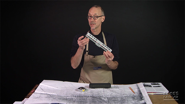
In Part 2, David turns to his computer to explore how aerial photos and maps can help modelers compose a detailed overview of a region, town, or even a specific railroad site. Follow along as he walks you through the process of examining historic maps.
How-to Library: Designing a layout, Part 2 Aerial Photos and Maps
| Last updated on November 20, 2020
There are four ways to design a layout using photos and maps. The first is Aerial Photo and Street View these are good if you are modeling a specific area. Next is Sanborn Maps and Google Earth Image these are used to model buildings and landscape. After Sanborn Maps is a Population Density Map these model everything and show mostly what is on a Sanborn or Google Earth Image. If you are not modeling a city the last is a Topographical Map these maps only show elevation and should never be used for model railroading unless your layout is built in the mountains.
Very interesting article that introduced me to new map sites. I always wondered how to get Sanborn Fire Maps for genealogical research. I wondered why David didn’t touch on the aerial views in Google or Bing maps or others?
Thanks for the tips!
I’ve tried to use aerial photos in the past but with your tips I may be able to make more sense out of them now. And try other places to look too. One I tried had no indexing of where anything was in the photos. And not all the photos were there.
David, thank you for taking the time to show us these amazing resources.
Hi David, this is a great series of how to designing a layout. I have done this work for a TT-scale layout of Mankato MN back in the 70s. It’s a lot of work but also very interesting. You can get the aerial photographs for free from
Hi David,
this is a great series of how to design a layout. I have done this work for a TT-scale layout of Mankato MN back in the 70s. It’s a lot of work and very interesting. You can get the aerial photographs for free from http://www.usgs.gov. There is also the Topo Map without copyrights marks at ngmdb.usgs.gov/topoview.
Now with my complete text. I was to fast with my sending of my post.
David, I have also found Google Earth to be a valuable tool for looking at rights of way of existing railroads and the scares on the earth left from where tracks where laid in the past. For instance; I love the Rio Grande Southern Narrow Gauge, in Colorado. For sure, Google Earth shows you how the terrain looks today. But, for the most part, the old road bed can be scene and as an example, if you look at Lizard Head Pass, you can make out on the ground the outline of the Wye that was used to turn trains under the snow shed that existed there.
This is really turning into an excellent series. I’ve actually used some of those resources before myself. And, as you said, some are better than others. Looking forward to more in upcoming episodes.
Hi David,
This is great info that I can use right now. I have pulled up the 1939 aerial of the Burlington yard in Eola,IL.
Thanks!!
Hi, David. Wondering if you’ll discuss Railroad Valuation Maps, that I understand can be found in the National Archives. I seem to recall Tony Koester mentioning those maps at some point. Loving this series!
David: having fun following your research, but you haven’t explained yet, the other tracks. One track coming from the south comes from Elgin and goes under the CNW line there in Crystal Lake and goes to Lake Geneva. Subject of a book a few years a go. The CNW has a connector track, to the NW line, and ran a train from/to Chicago to Lk Geneva known as the “Millionaire’s Train.” A little north on that line toward Lk Geneva is Terra Cotta, where there is a big clay pit. Other track I’m not familiar with is the track past the depot, curving off to the southwest. What was that line, where did it go and what was the industries served on it?
Impressive on the research aspect of planning a layout David. Never would have dreamed of doing this much until becoming a subscriber to MRVP. Anxious to see just where you lead us on this journey and the concept you design and build… is this the next project railroad for the MRVP gang? Game on!
David, I hope all of this is leading up to “The Big Reveal”. You hadn’t mentioned, but at the engine facility, there another track going perpendicular to the main line. Is this also CNW or some other road? Or am I jumping the gun?