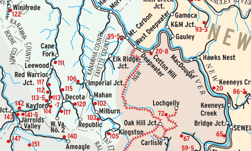
Eastern coal railroads issued maps of coal mines they served for the information of customers. This map (redrawn for clarity) shows C&O’s New River and Kanawha (Ka-NAW) Districts in 1966. their common border marks the divide between high and low volatile coal measures, an important distinction that determines whether coal is used to make coke […]
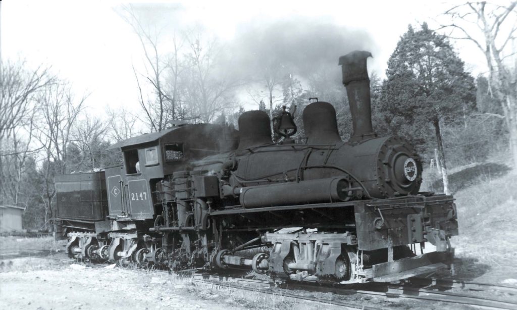
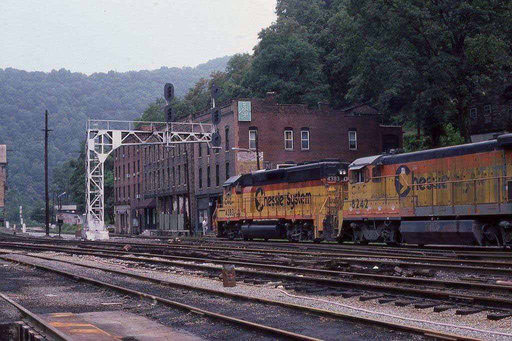
Chesapeake & Ohio in the West Virginia coal fields