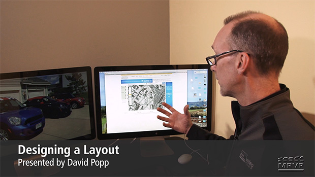
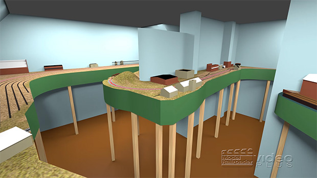
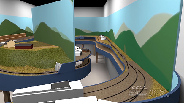
Having trouble viewing this video? Please visit our Video FAQ page In Part 2, David turns to his computer to explore how aerial photos and maps can help modelers compose a detailed overview of a region, town, or even a specific railroad site. Follow along as he walks you through the process of examining […]
How-to Library: Designing a layout, Part 2 Aerial Photos and Maps